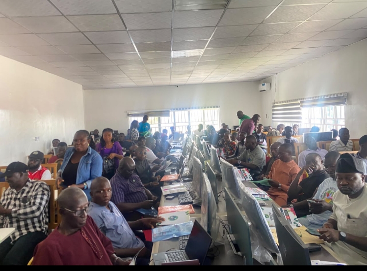
Surveyors have been urged to integrate emerging technologies such as Artificial Intelligence (AI), drones, Geographic Information Systems (GIS), Computer-Aided Design (CAD) and Global Navigation Satellite Systems (GNSS) with fundamental surveying principles to achieve professional excellence.
The call was made by the keynote speaker at the 2026 Mandatory Continuing Professional Development (MCPD) programme of the Nigerian Institution of Surveyors (NIS), Plateau State Branch, Engr. Dr. Meshach I. Alfa, Head of the Department of Civil Engineering, University of Jos.
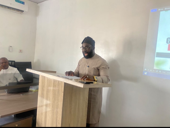
Dr. Meshach said the future of surveying lies not in replacing established surveying knowledge with technology, but in combining sound professional principles with modern digital competence.
According to him, experienced practitioners must remain open to innovation, while younger professionals should develop a strong understanding of measurement science, quality assurance, professional responsibilities and other principles that underpin the use of modern surveying tools.
He said technologies such as AI, drones, GNSS, GIS and CAD could improve productivity and expand the capacity of surveyors, but warned that the use of sophisticated technology does not automatically guarantee accurate results.
“Technology can increase the speed and scale of data production, but it does not automatically guarantee the accuracy, validity or suitability of the results,” he said.
Dr. Meshach explained that a drone could capture thousands of images without producing an accurate terrain model if it was improperly planned or processed, while AI could generate outputs containing omissions or inaccuracies if not properly verified.
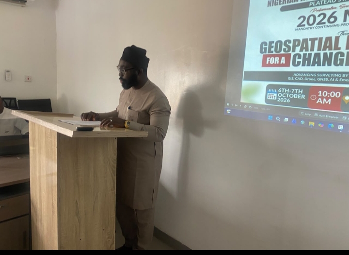
He therefore urged surveyors to understand the tools they use, recognise their limitations, verify their results and take responsibility for the quality of their professional outputs.
The keynote speaker said the real divide in the profession was not between older and younger surveyors, but between knowledge of professional principles and competence in modern tools when the two are treated as separate.
“The surveyor of the twenty-first century must combine the wisdom of fundamental principles with the competence of modern technology,” he said.
The programme is themed “Geospatial Innovation for a Changing World,” with the sub-theme, “Advancing Surveying by Integrating GIS, CAD, Drones, GNSS, AI and Emerging Technologies.”
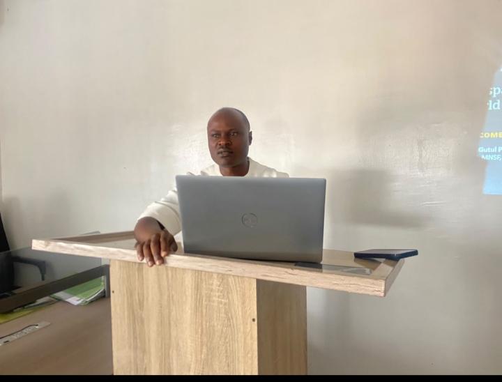
In his welcome address, the Chairman of the NIS Plateau State Branch, Surv. Gutul Pius, said the changing nature of the surveying profession made continuous professional development essential.
He noted that the profession had moved from traditional methods involving theodolites and chains to modern technologies capable of delivering faster and more detailed spatial information.
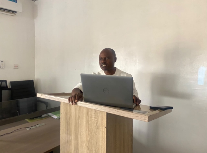
Gutul said the technologies do not replace the surveyor but raise the standard of what a professional surveyor must know, urging participants to actively engage in the training and apply the knowledge gained to their professional practice.
He said the MCPD was also important in maintaining public confidence in surveying practice and distinguishing qualified registered practitioners from quacks.
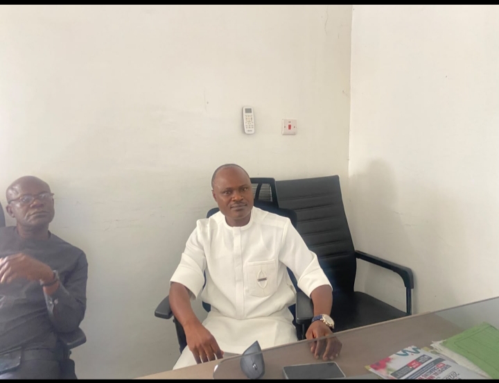
Speaking on behalf of the Honourable Commissioner, Ministry of Lands, Survey and Town Planning, the Surveyor General of Plateau State, Surv. Tagwai Sati Sunday, MNIS, MGEOSON, MNSF, described the MCPD as a vital platform for professional growth.

He urged participants to pay keen attention to the training, actively engage with the facilitators and ensure they apply the knowledge gained appropriately in their professional practice.
The two-day training, which opened on today Tuesday 6 with the formal ceremony and professional engagements, will continue on Wednesday, October 7, 2026 with participants expected to receive practical exposure to surveying software, drones and other emerging technologies to facilitate and improve their professional practice.
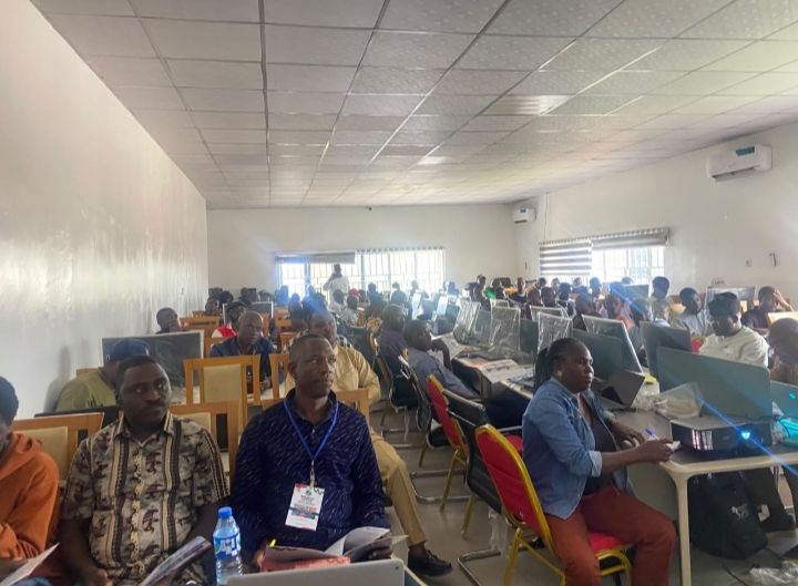
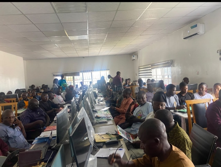
The programme brought together registered surveyors, academics and student surveyors for training, engagement and mentorship, with participants expected to gain practical knowledge that can be applied to modern surveying practice.
During the two-day workshop, participants will be exposed to topics including Introduction/Background to Route Survey and Design; Data Collection and Road Profile Design using AutoCAD Civil 3D; Integrating UAV, Photogrammetry and GIS for Cadastral Boundary Determination in Data-Deficient Areas; Digital Map Production using ArcGIS; and Drone Data Capture and Processing.